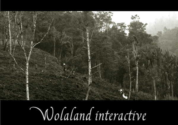
The electronic atlas Wolaland Interactive presents various aspects of the Was Valley and its population via maps and associated data.

Themes of the atlas
- Topography and morphology of the valley
- Settlement and population
- Gardens and tenants
How to access Wolaland Interactive ?
To access the atlas, you need an internet connection to reach the data repository.Overview of the atlas content
Without any internet connection, you can have an overview of the atlas by taking a tour of a collection of screenshots.Different users, different levels
The Wolaland Interactive Atlas provides the user with various levels of information and interactivity. There are three levels:
- The first level corresponds to a simple presentation of the atlas and of the region. The user can access this information by moving the mouse over the hexagons. The user can click anywhere to access the next level
- The second level corresponds to reading the content of the atlas, using the interactive menus and selections to discover it. This level provides the user with a certain interactivity. The main actions you can perform in this level are:
- zoom and navigate the map using the navigation tools
- zoom to specific regions using the direct views
- switch layers of the map on&off
- change the theme using specific icons to discover the topography, through profiles, the housing or the garden location of the groups and families
- The third level corresponds to an exploration of the Was valley data using more complex interactive tools such as:
- query dynamic morphology indicators moving over the map topography
- drawing lines to create profiles
- retrieving statistics on housing and gardening by clicking on a specific group or family
- creating thematic maps, colouring house locations or gardens and so on;
- etc.
The atlas interface as its elements (icons, buttons, functions, etc.) are presented in the following pdf document : Wolaland Help


